")


Topographic Survey
Contour Survey
Layout Survey
Hydrographic Survey
Leveling Survey
Engineering Services
Who we are
OCTAGON is recognized as one of the top digital land surveying firm in Bangladesh. We provides Land Surveying and Land Planning services for the development of private and public projects. Our range of services is inclusive of Control surveys, Boundary surveys, Topographic Land surveys, setting out surveys, Route Surveys, Volume calculations. We understand that it is the little things that make a big difference on your projects. Over the years, our clients have come to know and trust us for our consistent and thorough approach and also our dedication as a project partner. We are committed to helping you build a successful project.

What We Do
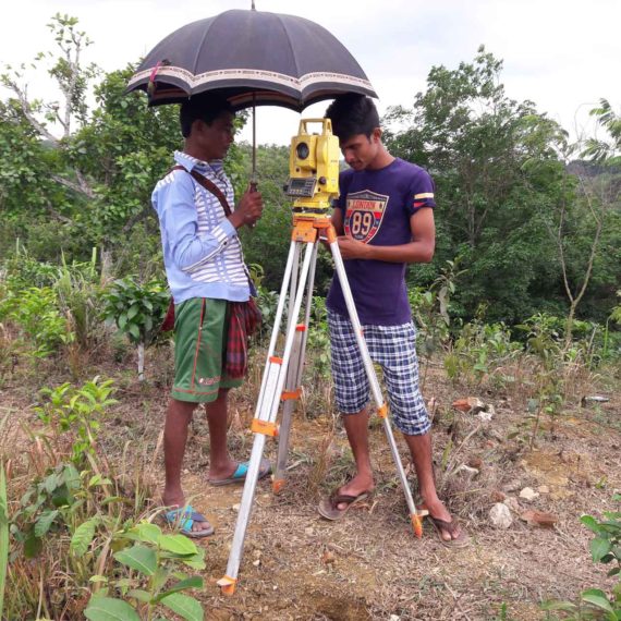
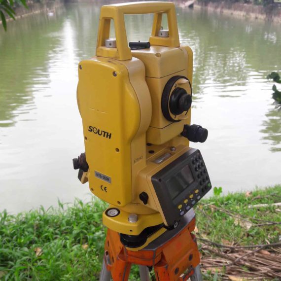
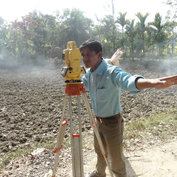
Topographic survey involves determining the horizontal and vertical locations of objects on the surface of the earth. Horizontal location entails locating ‘objects’ like roads, railways, ponds, houses, boundaries of properties, etc. by measuring horizontal distances; the objects are indicated by symbols. Vertical location includes the location of hills, valleys, depressions, benchmarks, RLs of points, etc. by measuring vertical distances; the objects in this case are represented in relief. Thus, a topographic map shows the nature of the earth surface along with the positions of different objects. Such a map is essential for the engineering projects involving roads, railways, irrigation, reservoirs, townships etc. The scale of a topographic map depends on the extent of area it covers, and the purpose for which it is to be prepared. Generally topographic map is prepared according to a scale of 1 cm to 1 km (i.e. 1/100,000).
The line of intersection of a level surface with the ground surface is known as the contour line or simply the contour. It can also be defined as a line passing through points of equal reduced levels. For example, a contour of 100 m indicates that all the points on this line have an RL of 100 m. Similarly, in a contour of 99 m, all points have an RL of 99 m, A map showing only the contour lines of an area is called a contour map.
Construction Staking, also known as a Site Layout Survey, is the process of interpreting construction plans and marking the location of proposed new structures such as roads or buildings. Construction staking is performed to ensure a project is built according to engineering design plans.
Hydrographic survey is the science of measurement and description of features which affect maritime navigation, marine construction, dredging, offshore oil exploration/offshore oil drilling and related activities.
The aim of leveling is to determine the relative heights of different objects on or below the surface of the earth and to determine the undulation of the ground surface.
- To prepare a contour map for fixing sites for reservoirs, dams, barrages, etc., and to fix the alignment of roads, railways, irrigation canals, and so on.
- To determine the altitudes of different important points on a hill or to know the reduced levels of different points on or below the surface of the earth.
- To prepare a longitudinal section and cross-sections of a project (roads, railways, irrigation canals, etc) in order to determine the volume of earth work.
- To prepare a layout map for water supply, sanitary or drainage schemes.

OCTAGON provides Building Consultancy Services i.e Structural Design, Architectural Design, Sanitary Plumbing Design, Electrical Design,Project Management etc.
Our Skills On Survey
Facts
2007
480
1500
5000
Our Works
- All
- Contour
- Hydrography
- Layout
- Leveling
- Topographic
Digital Topographic Survey
Topographic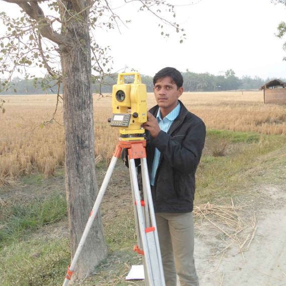
Digital Topographic
Topographic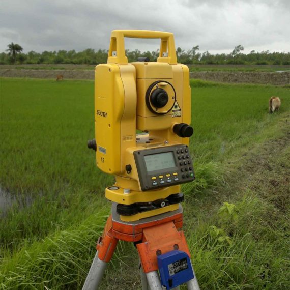

Digital Topographic Survey
Layout, Leveling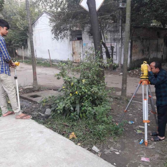
Topographic Survey
Topographic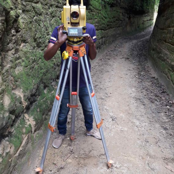
Local Government Engineering Department
Contour, Layout, LevelingOUR CLIENTS


visitor counter


 Visit Today : 12 Visit Today : 12 |
 Visit Yesterday : 165 Visit Yesterday : 165 |
 Total Visit : 164747 Total Visit : 164747 |